
By KAREN MADORIN
As a youngster riding down Highway 50, I never considered its history or how this asphalt road connected me to Kansas’s or our nation’s past. It was a boring ride with no interesting scenery unless a storm with writhing, twisting clouds or a dazzling prairie sunrise or sunset filled our windshield.
When cruising Kansas roads, it’s easy to forget the past.
Most travelers don’t consider the thoroughfares we take for granted began as Indian trails and morphed into pioneer roads and later state and national highways. Historically, native people’s trails followed water, which was true along the Ark as well. After the Louisiana Purchase, risk-taking entrepreneurs overtook a native trade route sending long ox trains between Missouri and Santa Fe. Prior to and during the Mexican-American War, it served as a military road, leading to construction of Forts Mann, Atkinson, Aubrey, and Union, storied historical footnotes.
In recent times, the Kansas Department of Transportation graded and paved this route, posting Highway 50 signage along shoulders and mapping it.
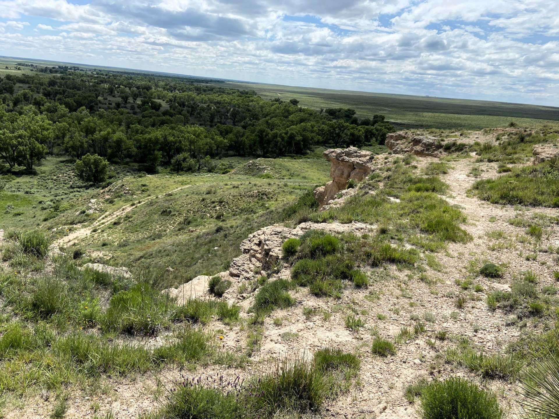
Where asphalt parallels the river, travelers can imagine for an instant they are a stone’s throw from another age, country, and culture. Less than two centuries ago, the Arkansas served the same purpose as the Rio Grande River does now, an international border.
In his book "Dangerous Passage," William Chalfant chronicles this history.
Ox trains carrying thousands of dollars worth of goods traveled back and forth between Franklin, Missouri, and Santa Fe. Before and during the Mexican-American War, military convoys advanced on Santa Fe and exited it using this route. Between Council Grove and Bent’s Fort, travelers depended on their wits and skills when wagons broke down, Indians attacked, beasts of burden went lame, died, or were stolen, or humans succumbed to cholera, dysentery, or other ailments.
Though garages, motels, cafes, and medical care serve modern travelers, the landscape and weather conditions haven’t altered from those predecessors experienced.
No matter the century, summer heat scorches native grasses and dries waterways. Aesthetic concerns for modern wayfarers, early travelers required these essentials for livestock. Despite changing travel requirements, folks crossing this terrain in winter risk blizzards and icy conditions that halt journeys. Before bridges, high water halted trail traffic or drowned humans and livestock crossing torrents. Storms can still interrupt travel.
Another concern Chalfant describes were attacks by Kiowa, Cheyenne, and Comanche warriors who called this borderland home. They fought American and Mexican encroachment on historic hunting grounds, frequently attacking east and westbound caravans between Walnut Creek and the Pawnee Fork. Forts Dodge, Larned, and Zarah weren’t established to protect the trail until the 1860s, after it ceased to be an international border.
Most drivers along Highway 50 where it borders the Arkansas River consider the trip tedious.
If AI or other technology let them simultaneously see and hear past and present, groaning wagons, lowing oxen, and cursing bullwhackers would overwhelm their radios. Besides feedlots and agricultural development, they’d see desiccated carcasses of animals and humans who succumbed to the elements and broken wagons littering ruts. Eyes would scan horizon lines seeking a glint of sunshine on Cheyenne lances.
Without advanced weather warnings, eyes would monitor distant clouds. Always, they’d look for good water and camping spots to refresh themselves and their beasts.
If there were means to experience simultaneously what was and what is, a trip across Highway 50 where it divided Mexico and U.S. Territory would thrill even jaded travelers.
Karen Madorin is a retired teacher, writer, photographer, outdoors lover, and sixth-generation Kansan.