By ALIN HETT
Hays Post
There is more than one way to see Hays.
From a paved path along Big Creek to a nature trail winding through wetlands and prairie, the city offers residents and visitors the chance to slow down and experience parts of the community that can be easily missed from behind the wheel.
Some trails offer a workout. Others offer a quiet walk through nature. Some connect neighborhoods, parks, schools and Fort Hays State University, while others lead people through the history of the city.
And increasingly, those trails are becoming connected to one another.
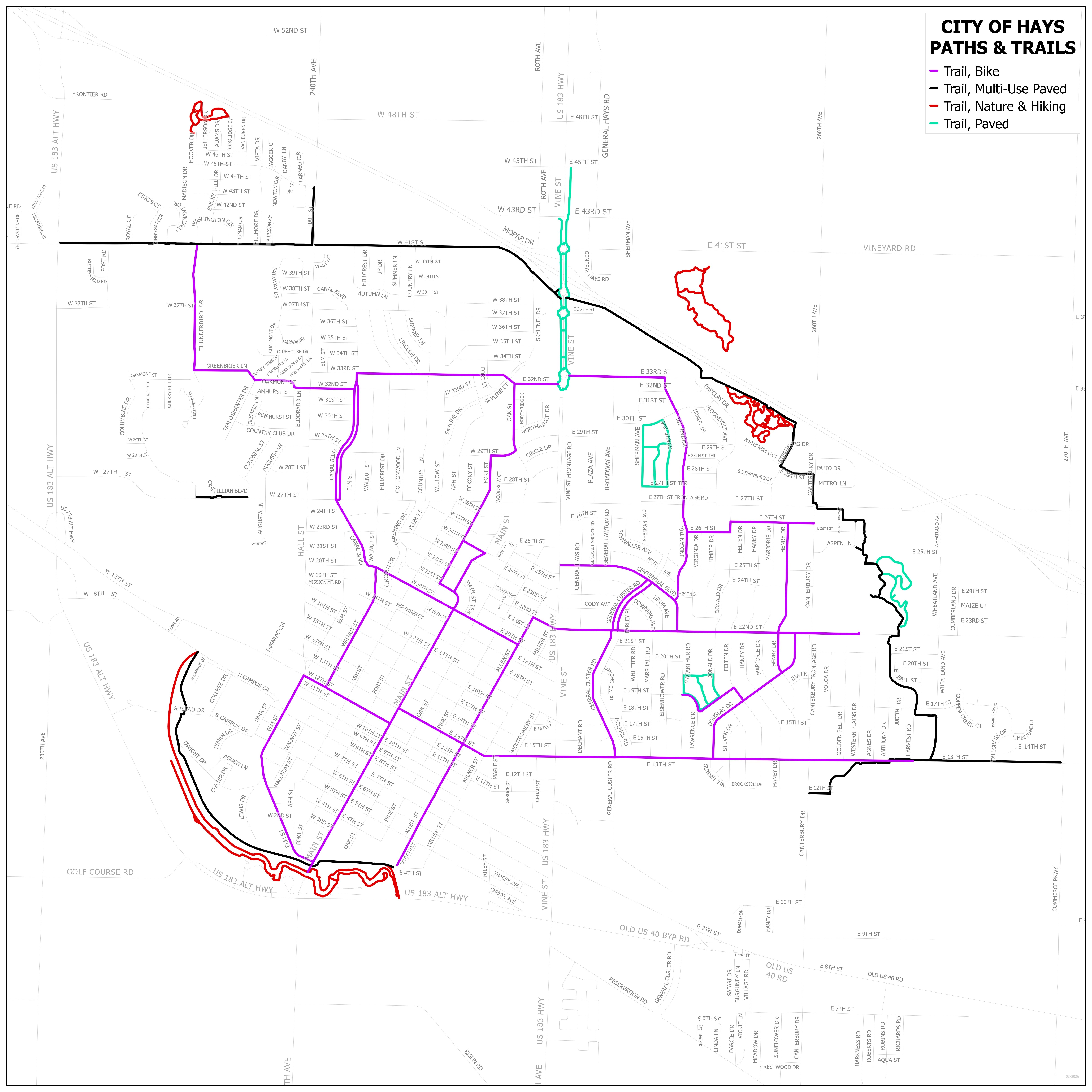
Hays has miles of paths and trails available for walking, running and even biking, with the city continuing to add connections that will eventually create a loop around the community.
Jeff Boyle, Hays Parks director, said variety is one of the things he appreciates about the city's trails.
Boyle said he would walk the Fort Hays State University trails if he could only walk one for the rest of his life.
“I think I like the FHSU trail the best,” Boyle said. “I’m a kind of nature guy, the creek runs right along that the whole way, so you know if you go down there in the evening, you can see deer or beavers or even raccoons.”
That experience is part of what makes Hays' trail system different from simply having a sidewalk to walk on.
The city's Big Creek Nature Trail, located within Frontier Park, follows the banks of Big Creek for about 1.7 miles. Along the route are 14 points of interest highlighting historical features and trees common to the region.
For someone looking for a different environment, Vineyard Park provides another option.
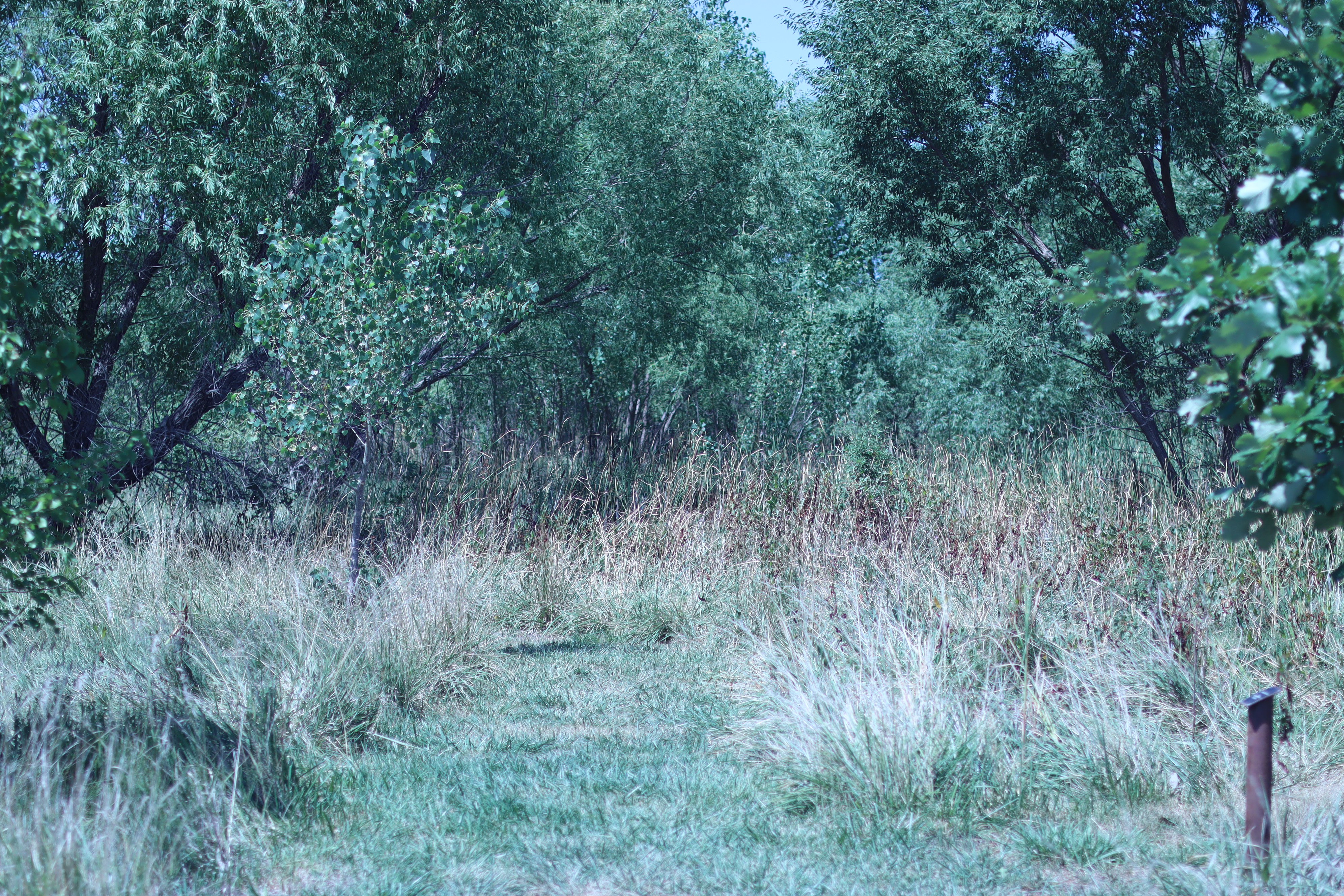
The Vineyard Park Nature Trail is about 1.1 miles and moves through several environments, including wetlands and prairie. The trail includes varying inclines and water crossings, while native plants and wildlife can be found along the route.
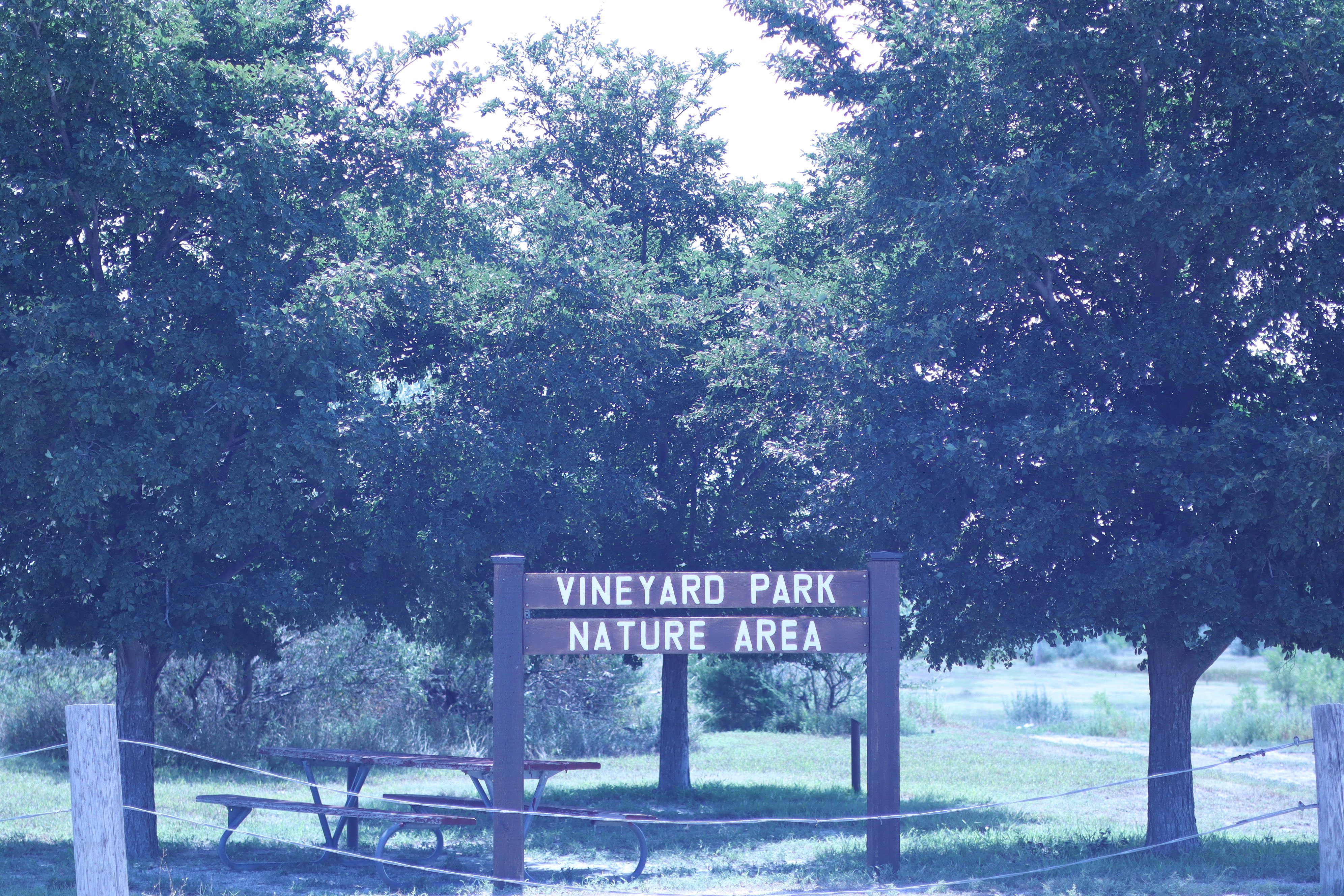
The two trails offer very different experiences despite being part of the same community.
One follows a creek through Frontier Park. The other moves through changing landscapes at Vineyard Park.
Then there is the Dr. Howard Reynolds Nature Trail near the Sternberg Museum of Natural History.
The trail system covers about two miles through a 22-acre outdoor classroom. Chetolah Creek winds through part of the area and forms two small ponds, while other portions of the trail cross open grassland and rolling hills. The area also includes native trees, flowers and shrubs, an amphitheater and a footbridge.
Together, those nature trails provide something that is increasingly difficult to find in a community: places where the destination is not necessarily the point.
Sometimes the point is simply being outside.
That is also true of Hays' paved multi-use paths.
The city has developed paths that allow walkers, runners and cyclists to travel through different portions of the community without relying solely on streets.
The system includes about 7.45 miles of multi-use paths once the current section being constructed is completed, according to the Hays Parks Department.
Several parks provide additional places to walk or exercise, including Sunrise Park, Aubel-Bickle Park and Seven Hills Park.
There is also a fitness trail near HaysMed, where a paved three-quarter-mile route includes fitness stations, shade trees, a stream, tall grass, a gazebo and lighting.
Boyle said two of the main goals when the city began developing more multi-use paths was safety and enjoyability.
“We’re building them correctly, so they are very enjoyable,” Boyle said. “They’re very safe, you can take your kids on it.”
For Boyle, however, the most important part may be what happens when all of those individual pieces begin working together.
“We’re providing connectivity for everybody,” he said.
That connection is already taking shape.
A newly completed section of the 41st Street multi-use path between Hall Street and Vine Street opened earlier this month. The 10-foot wide concrete path provides a dedicated route separated from vehicle traffic and connects with existing multi-use paths. The next section, extending east toward the Sternberg Museum, is under construction.

The work is part of a larger effort to connect the city's existing network.
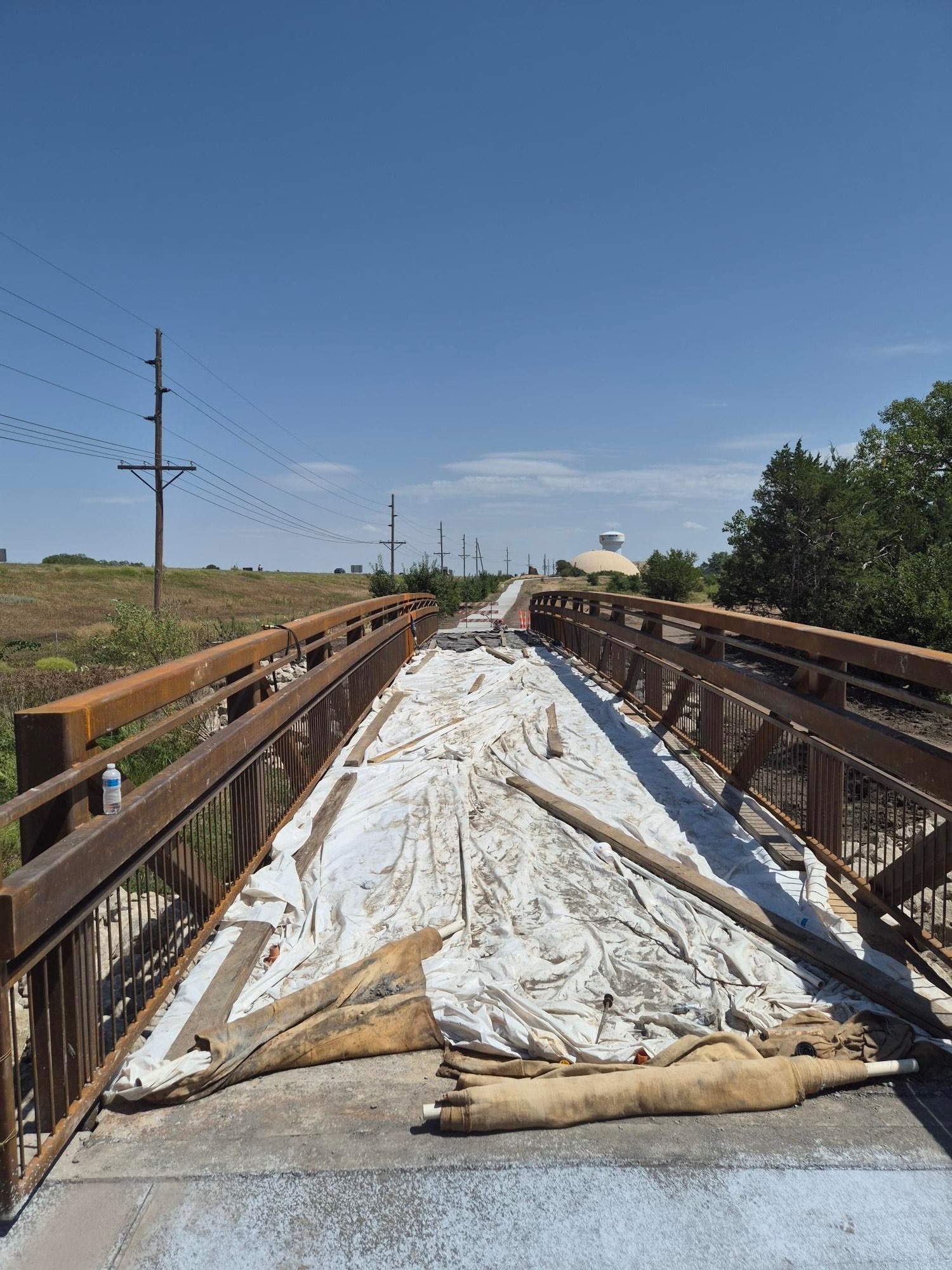
Boyle said the ultimate goal is to create a circle around Hays, with smaller loops branching into the city at different points. He said the city's goal is to have the multi-use path complete by the end of the year.,
But that future connection doesn't diminish what residents already have.
Boyle said a person does not have to wait for the entire loop to be completed to enjoy the system. They can walk beside Big Creek, explore Vineyard Park, travel through the area near Sternberg or ride one of the city's multi-use or Bike Hays routes today.
Nikki Brown, executive director of the Hays Convention and Visitors Bureau, said the trails give people a chance to see more of the community beyond its traditional attractions.
“The walking and hiking trails in Hays give visitors a chance to experience our community beyond the usual stops,” Brown said. “Connecting them to the beauty, history and hospitality that make Hays a memorable destination.”
The Historic Hays City Walking Tour takes visitors through portions of the city associated with its early history. Twenty-five bronze plaques mark locations connected to people and places from the 1860s through the 1880s.
You can pickup a paper guide to the historic walking tour at the convention and visitor's bureau, 2700 Vine, and other locations in the city.
The route travels south from Boot Hill toward downtown along Fort Street, 10th Street and 11th Street before continuing back north along Main Street.
It is a different kind of trail, but it serves the same basic purpose: giving people a reason to slow down and look around.
Brown said the benefits extend beyond recreation.
“These trails are important because they enhance quality of life for residents while also strengthening Hays as a leisure tourism destination,” Brown said. “They give visitors and community members a welcoming space to unplug, connect with one another, and experience the natural beauty and character of our community.”