
Kansas Geological Survey
LAWRENCE — Preliminary measurements by the Kansas Geological Survey (KGS) show an overall increase in 2025 groundwater levels across Kansas High Plains aquifer regions, due in part to periods of above-average rainfall. In south-central Kansas, water levels increased an average of nearly 2.5 feet — the highest since 2019.
“Western Kansas saw some great rainfall events in many spots last year. This helped reduce groundwater demands, and changes in the water levels across much of the High Plains aquifer improved over what we saw last year,” said Brownie Wilson, KGS water data manager.
“In south-central Kansas, the water table rose significantly in Great Bend Prairie and Equus Beds portions of the aquifer. The beneficial and timely rains over the growing season combined with the sandy soils and the aquifer’s proximity to the land surface really helped to recharge the system.”
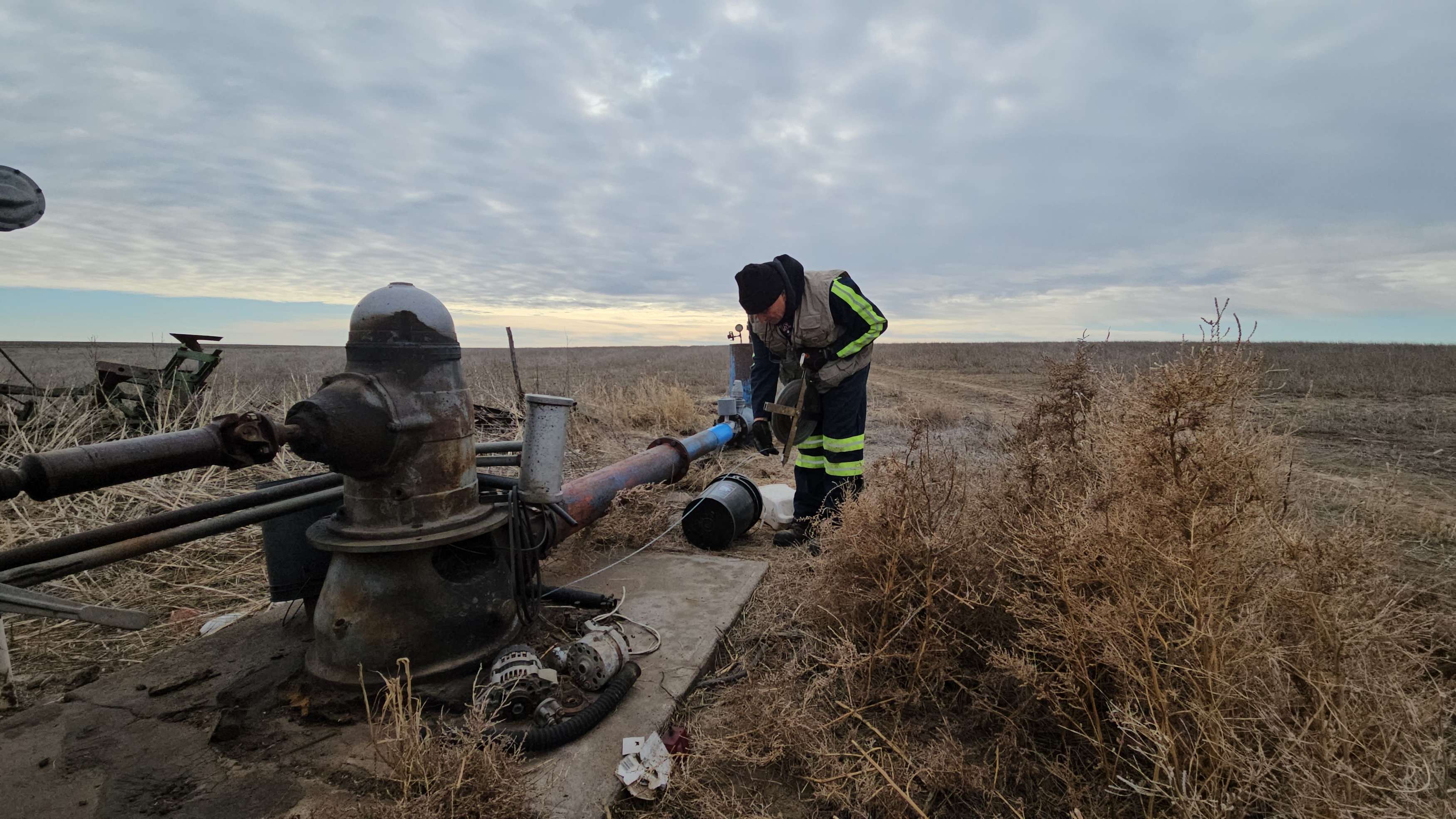
The KGS and the Division of Water Resources (DWR) of the Kansas Department of Agriculture measure water levels in about 1,400 wells every year to monitor the health of the High Plains aquifer, which is the primary water source for agriculture, industry and domestic use in western and south-central Kansas. Most of the monitored wells are within the boundaries of the state’s five groundwater management districts (GMDs). Locally elected boards organize these districts to share water-use information and provide management strategies.
The 2025 measurements showed an average water level increase of about 0.2 feet across the Kansas High Plains aquifer region, breaking five straight years of declines. Annual groundwater level declines across the region averaged 0.57 feet from 1996 to 2025.
Periods of precipitation in 2025 contributed to the change. Heavy rainfall occurred in May and June, when areas of southwest and south-central Kansas received as much as 12 inches of rain — more than twice the normal amount. July and August saw slightly above-average precipitation levels in southern Kansas. North-central Kansas received the year’s last bouts of notable precipitation in October and November.
Wilson said that plentiful rainfall contributed to improved water levels across the Ogallala portion of the aquifer through increases or lower-than-usual declines.
“In west-central Kansas and GMD 1, the water table rose slightly from 2024. Northwest and southwest Kansas both saw groundwater declines across most of their regions, but they were markedly lower than last year and the long-term (30-year) averages,” he said.
The High Plains aquifer is a network of water-bearing rock that extends into eight states. In Kansas, the aquifer has three components: the Ogallala aquifer, the Great Bend Prairie aquifer and the Equus Beds. Of these, the Ogallala underlies most of western Kansas and consists mainly of the Ogallala formation, a geologic unit that formed from sediment eroded off the uplifting Rocky Mountains.
Across the extent of the High Plains aquifer in Kansas, the 2025 provisional groundwater measurements demonstrate an improvement upon historical trends in the GMDs.
Western Kansas GMD 1: This district crosses parts of Wallace, Greeley, Wichita, Scott and Lane counties and monitors the western Ogallala region of the Kansas High Plains aquifer. GMD 1 is home to most of the wells drilled into the Ogallala aquifer. GMD 1 has seen an average annual groundwater decline of 0.53 feet for the past 30 years. But 2025 was one of a handful of years when GMD 1 observed a net increase in water levels, with a gain of 0.18 feet.
Equus Beds GMD 2: This district covers portions of Reno, McPherson, Harvey and Sedgwick counties, serving as a significant source of water for Wichita, Hutchinson and surrounding towns. Although most years GMD 2 exhibits a net decrease in water level — as is the case with all Kansas GMDs — it has shown annual increases of a foot or more 10 times over the last 30 years. Above-average rainfall in July and August helped GMD 2 see a groundwater increase of 2.48 feet in 2025.
Southwest Kansas GMD 3: This district spans all or parts of Hamilton, Kearny, Finney, Gray, Ford, Stanton, Grant, Haskell, Morton, Stevens, Seward and Meade counties and monitors the southern Ogallala region of the Kansas High Plains aquifer. Historically, it has shown the greatest decreases in groundwater level of any GMD, with an average annual decline of 1.66 feet from 1996 to 2025. In 2025, the district saw a decrease of 0.62 feet.
Northwest Kansas GMD 4: This district includes all or parts of Cheyenne, Rawlins, Decatur, Sherman, Thomas, Sheridan, Graham, Wallace, Logan and Gove counties and monitors the northern Ogallala region of the Kansas High Plains aquifer. From 1996 to 2025, the average annual groundwater decline was 0.49 feet. The district saw a loss of 0.21 feet in 2025.
Big Bend GMD 5: This district includes Pratt and Stafford counties and parts of Pawnee, Barton, Rice, Edwards, Reno and Kiowa counties. It monitors the Big Bend region of the Kansas High Plains aquifer. From 1996 to 2025, the district’s average annual decline has been 0.14 feet; however, in 2025, GMD 5 saw a gain of 1.5 feet.
Groundwater measurements are taken primarily in January, when water levels are least likely to fluctuate due to seasonal irrigation. The measurement results, available on the KGS Water Well Levels web page, are provisional and subject to revision based on additional analysis.
The KGS is a nonregulatory research and service division of KU. KGS researchers study and provide information about the state’s geologic resources and hazards, including groundwater, oil and natural gas, critical materials and earthquakes.