
Kansas Geological Survey
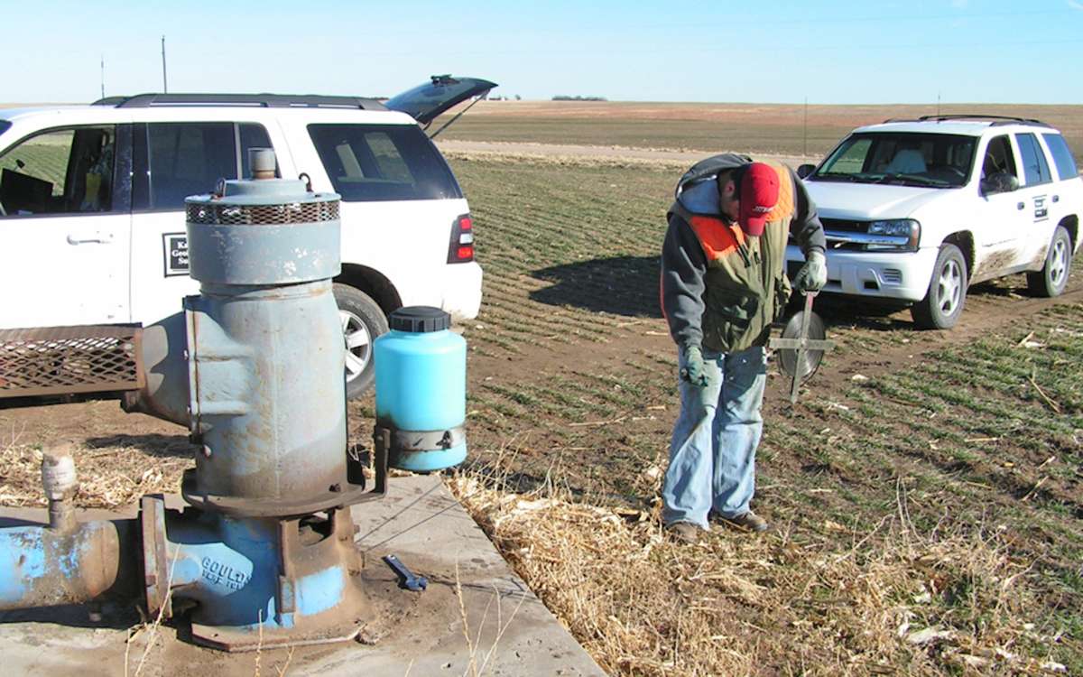
LAWRENCE — A crew from the Kansas Geological Survey, based at the University of Kansas, along with staff from three field offices of the Kansas Department of Agriculture’s Division of Water Resources, was in western Kansas to measure groundwater levels the first week of January 2026.
Levels are measured annually as part of a joint project to monitor the health of the state’s valuable groundwater resources. Most of the wells measured by KGS and DWR tap into the High Plains aquifer, a massive network of underground water-bearing rocks and the main source of water in western Kansas. The rest draw from deeper aquifers or shallower alluvial aquifers along creeks and rivers.
The KGS crew performed work near Colby, Goodland, Elkhart and Liberal.
Brownie Wilson, KGS water-data manager, said timely precipitation during the 2025 growing season should contribute to water-level increases in some parts of south-central Kansas.
“We started 2025 a little on the dry side across much of western and south-central Kansas, but that all changed going into the summer months and continuing into the fall,” Wilson said. “Many producers I’ve talked to were very pleased with not only the amount but timeliness of the rains this past growing season. Given south-central Kansas’ propensity to recharge in response to higher precipitation events, we should see water levels rise across most of the region.”
For the Ogallala portions of the High Plains aquifer in the western third of the state, though, Wilson expects to see mixed results.
“Several counties in west-central Kansas along with portions of northwest Kansas will likely have fairly stable water levels this year with smaller pockets of water-level declines,” he said. “This will also be true for areas in southwest Kansas; however, I anticipate areas that traditionally have seen past rates of decline will likely do so again this year.”
The High Plains aquifer underlies portions of eight states. In Kansas, it encompasses three individual aquifers — the Ogallala aquifer in the western third of the state, the Equus Beds around Wichita and Hutchinson, and the Great Bend Prairie aquifer around Pratt and Great Bend.
Groundwater levels in much of the state’s portion of the Ogallala aquifer have been on the decline since water use started to rise in the mid-20th century. Dry years lead to increased water usage, primarily for irrigation, which in turn typically causes greater declines in water levels.
KGS and DWR measure depth to water in roughly 1,400 wells in 48 counties, primarily in January to avoid as much as possible skewed data associated with short-term declines caused by widespread pumping during the growing season.
This year, KGS will measure 569 wells, and crews from the DWR’s field offices in Garden City, Stafford and Stockton will measure 824.
Wells are accessed with landowners’ permission, and many have been monitored for years, although new wells are added as older wells become inaccessible or to fill in spatial gaps in the monitoring network. The majority are within the boundaries of the state’s five groundwater management districts (GMDs), which are organized and governed by area landowners and water users to address local water-resource issues.
Historical annual measurements for each well are available on the KGS website. Results of measurements made in January will be added in late February.